
Weather Apps for Landscape Photographers
Over the years, I’ve come to rely on a few weather apps that provide more detailed and reliable information than most standard weather apps. These tools are especially useful for understanding approaching storms, lightning activity, wind, and overall weather patterns.
Wunderground
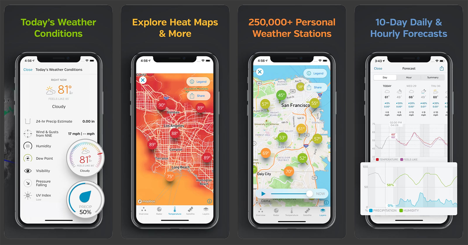
Weather Underground (often called Wunderground) is a helpful tool for landscape photographers because it provides detailed local weather information from nearby personal weather stations in addition to official forecasts. This can be especially useful around the Grand Canyon, where conditions can vary significantly from one location to another.
The app also offers hourly forecasts, cloud cover predictions, radar imagery, and sunrise/sunset times, all of which can help photographers anticipate changing light and weather conditions. Checking Wunderground before heading out can provide valuable insight into approaching storms, clearing skies, or shifting conditions that may create dramatic photographic opportunities. Learn more about Wunderground >>
RadarScope
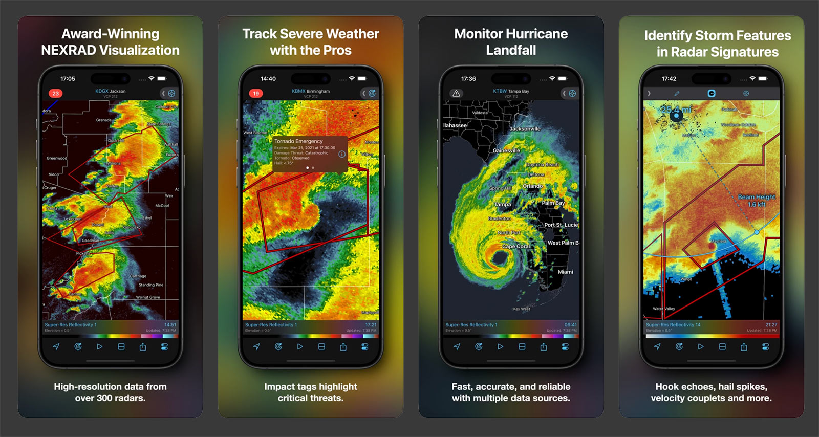
RadarScope Pro is a professional-grade radar app that displays live NEXRAD weather radar data used by meteorologists and storm spotters. It allows you to closely monitor incoming rain, snow, and thunderstorms in real time. This is one of the best tools for tracking monsoon storms and fast-moving weather systems in northern Arizona.
RadarOmega
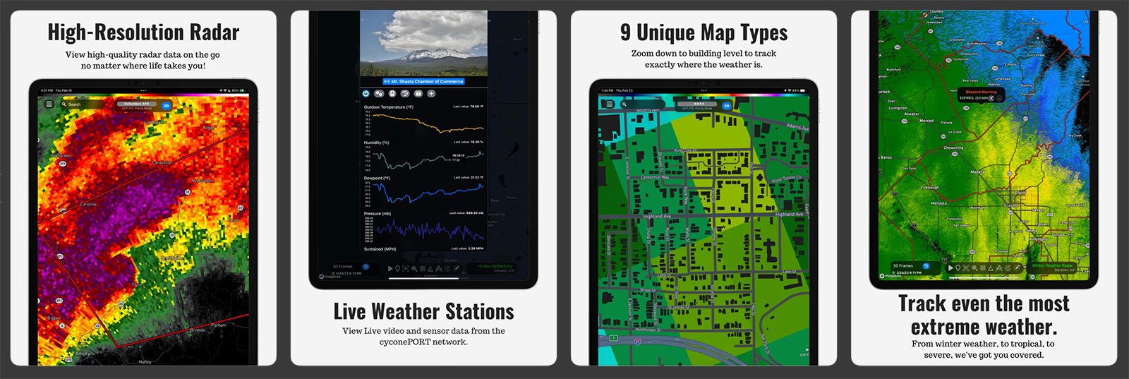
RadarOmega offers many of the same high-resolution radar capabilities as RadarScope, but also includes additional tools such as advanced radar overlays, storm-tracking features, and customizable data layers. It’s particularly useful for understanding the structure and movement of larger storm systems. Learn more about RadarOmega >>
My Lightning Tracker
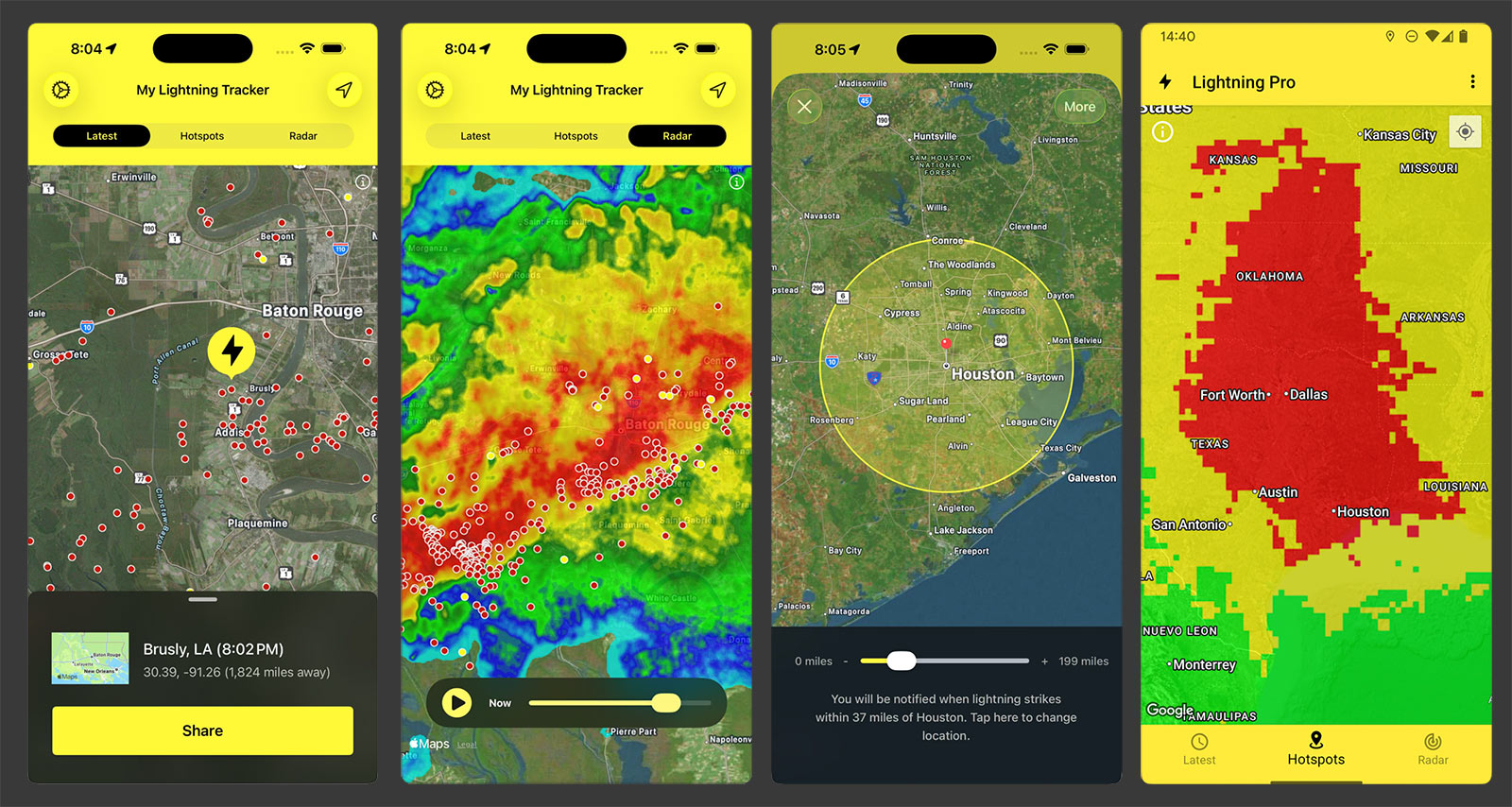
My Lightning Tracker focuses specifically on real-time lightning detection, allowing you to see where strikes are occurring and how storms are evolving. During the summer monsoon season, this app can be extremely helpful for monitoring lightning activity and maintaining awareness of nearby storms.
- Learn more about My Lightning Tracker for iPhone & iPad >>
- Learn more about My Lightning Tracker for Android >>
Windy
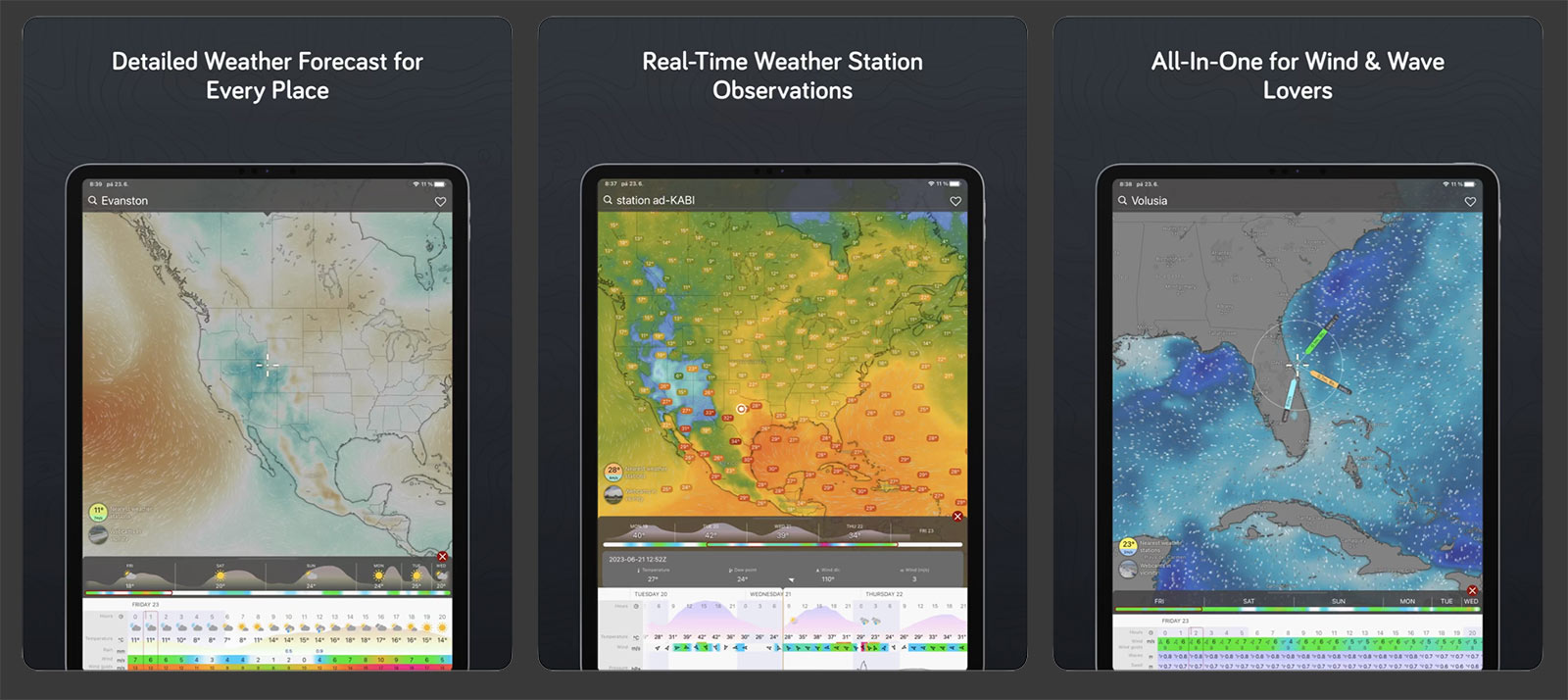
Windy provides excellent visual forecasts and weather models, including wind patterns, cloud cover, precipitation, and temperature. The map-based interface makes it easy to understand how weather systems are moving across the region, which is especially helpful when planning photography outings or outdoor activities.
- Use Windy on your computer via the web >>
- Learn more about Windy for iPhone & iPad >>
- Learn more about Windy for Android >>
How I use these Apps in the Field
I don’t rely on just one app—I use a combination of tools to plan ahead, track conditions in real time, and make safe decisions in the field.
Here’s how I approach it:
1. Planning Ahead with Weather Underground
Several days out, I start with Weather Underground to get a general sense of what’s developing.
I’m looking at:
• Cloud cover trends
• Temperature (I’ll admit—I’m a bit of a wimp when it comes to heat)
• Storm potential
At this stage, I’m not making final decisions—I’m just identifying opportunities. If I see a promising pattern, I’ll start paying closer attention as the day approaches.
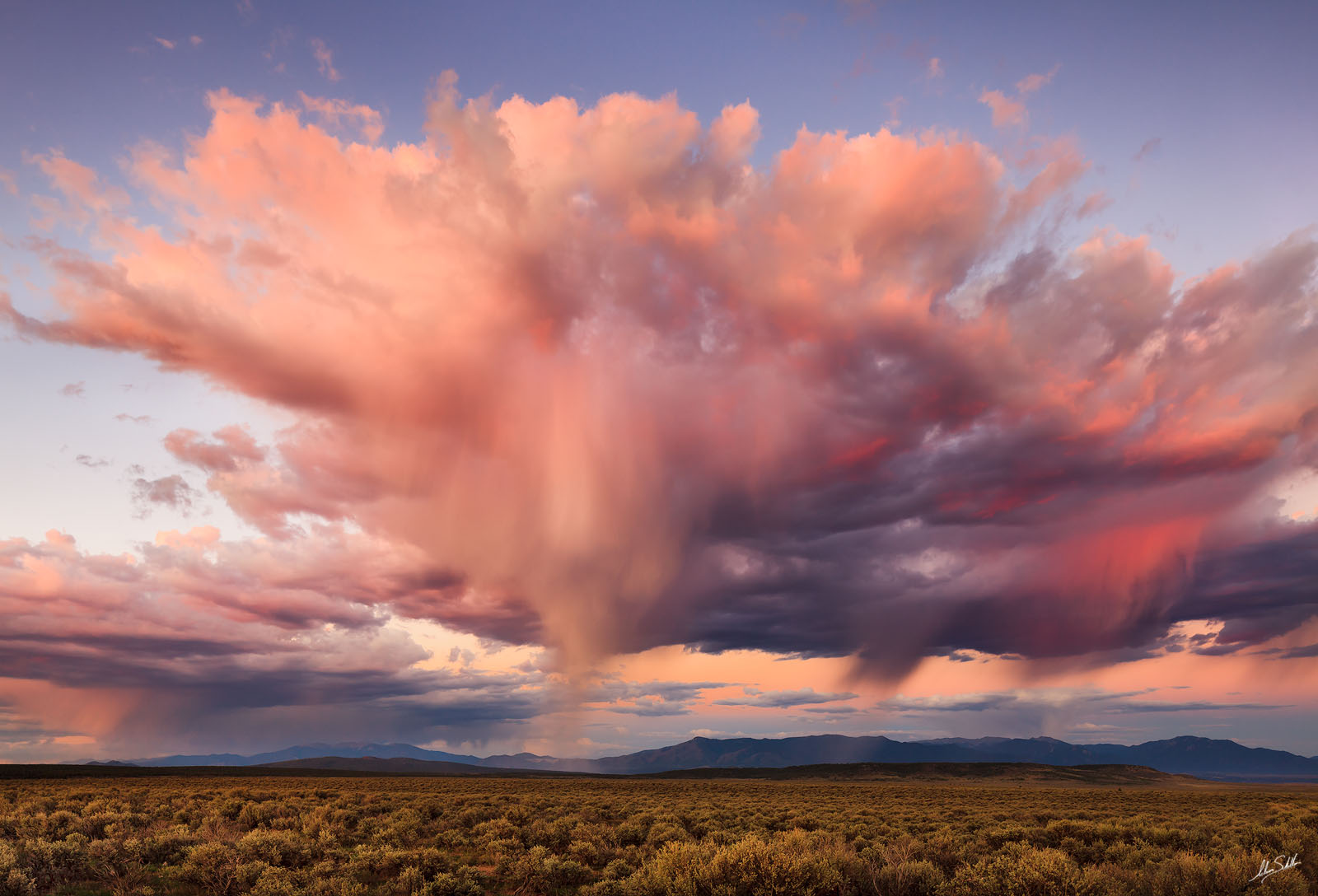
2. Tracking Storms with RadarScope
As I get closer to a shoot—or when I’m already in the field—I rely heavily on RadarScope Pro.
During the summer months, I upgrade to their Tier 2 plan so I can overlay satellite imagery on the radar. This is especially useful during monsoon season, when I’m trying to understand storm structure and movement.
What I’m watching for:
• Direction and speed of storms
• Gaps or edges in the system (often where the best light happens)
• Areas of heavy rainfall that could lead to flash flooding
I also pay attention to lightning activity on the radar, but for more detailed tracking, I use a separate app.
I’ve also started experimenting with RadarOmega. It’s a powerful tool, but as of now, I still prefer the simplicity and workflow of RadarScope.
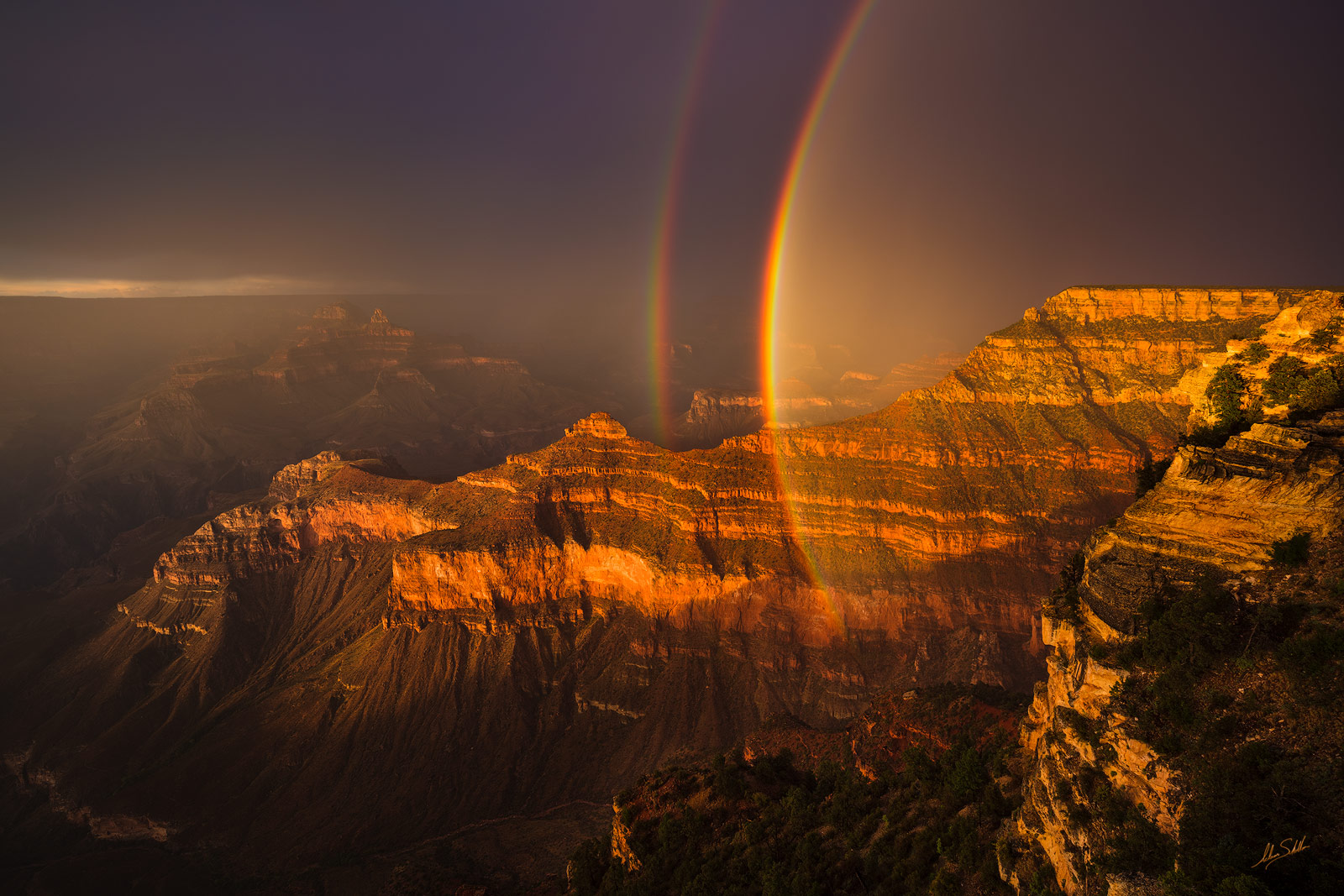
3. Staying Safe with My Lightning Tracker
When lightning is involved, safety becomes the priority.
My Lightning Tracker gives me a quick and easy way to see exactly how far away lightning strikes are occurring in real time.
My general rule: If lightning is within 8 miles, I pack up and seek shelter
That distance increases depending on how far I am from safety. If I’m 30 minutes from my vehicle or another secure location, I’ll leave much earlier to give myself enough time to get out safely.
No photograph is worth taking unnecessary risks.

Final Thoughts
These apps are tools—but they’re only part of the process. Over time, you start to recognize patterns and develop a feel for how conditions are evolving. The goal isn’t just to check the forecast—it’s to understand it, and to put yourself in the right place when everything comes together.
In an upcoming post, I’ll be covering the apps I use to plan my outings, including The Photographer’s Ephemeris and PhotoPills. I use these tools to determine where the sun rises and sets, how long Golden Hour and Blue Hour will last, and when and where the moon will rise or set. They also help with planning night sky photography—such as calculating shutter speed and determining where to place the plane of focus (the hyperfocal point) to best manage depth of field.
Each of these tools plays a slightly different role, and together they help me build a more complete picture of what’s possible.